 vesseltracker.com
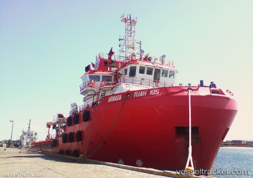
Vessel HAI DUONG 38 IMO: 9502283, MMSI: 574005250 Offshore Tug/Supply Ship
UTC, 9.97833, 108.22333, course: -1, speed: 0
UTC, 9.98333, 108.22833, course: -1, speed: 0
2026-02-19 05:59:57 UTC, 9.98333, 108.22833, course: -1, speed: 0
Live AIS position:
UTC. Near Rang Dong),
updated 2026-02-19 05:59:57 UTC.
Find the position of the vessel HAI DUONG 38 on the map. The latter are known coordinates and path.
marine traffic ship tracker show on live map
The current position of vessel HAI DUONG 38 is 9.98333 lat / 108.22833 lng. Updated: 2026-02-19 05:59:57 UTCCurrently sailing under the flag of Vietnam
HAI DUONG 38 built in 2009 year
Deadweight:
2867 tDetails:
Last coordinates of the vessel:
UTC, 9.98167, 108.23667, course: -1, speed: 0UTC, 9.97833, 108.22333, course: -1, speed: 0
UTC, 9.98333, 108.22833, course: -1, speed: 0
2026-02-19 05:59:57 UTC, 9.98333, 108.22833, course: -1, speed: 0